GIS MAPPING Services
Parmar offers our clients a unique skill set and more than 30-yeras of combined experience in Geographic Information Services (GIS) engineering solutions. Parmar offers a robust, proven and innovative team of proffesionals that has managed and created GIS products from small projects to multi-million dollar efforts with great success.
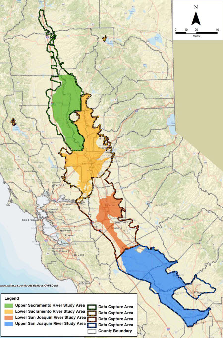
Our GIS experience is fundamentally rooted in water resource applications. From pre-and-post processesors including Geo-RAS and Geo-HMS to ArcHydro linked watershed systems, geospatial model libraries, infrastructure databases, and GIS-enabled infrastructure for flood prediction systems our team has been innovating solutions for our clients for two decades.
Parmar staff has managed and produced mapping products for water resource, environmental and transportation engineering projects. Our staff has produced maps and ESRI mapbooks at the highest level of presentation for all levels of client need. We are experts at all ESRI and many open source software suites including the QGIS suite of products.
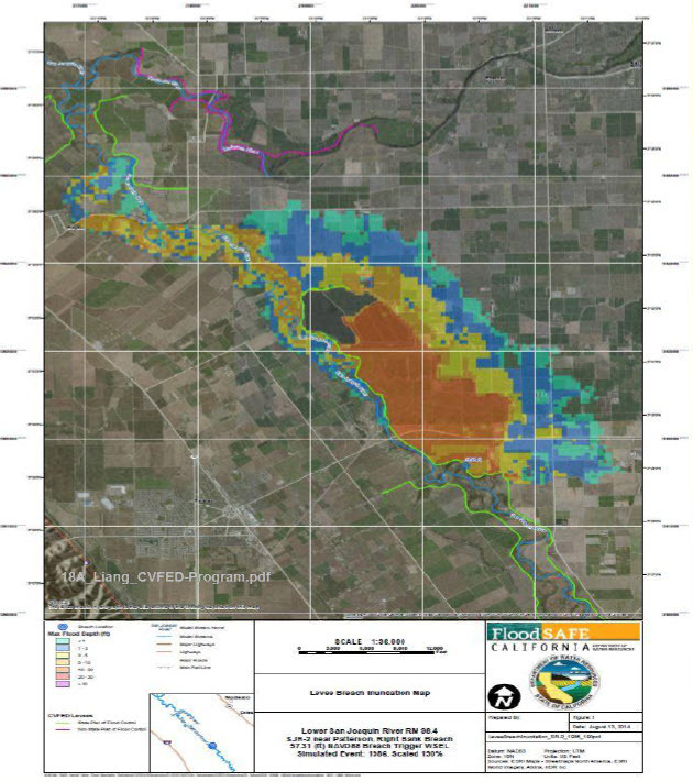
Our proprietary automated custom hazard mapping tools have enabled multiple regional public agencies on their FEMA planning and permitting needs